


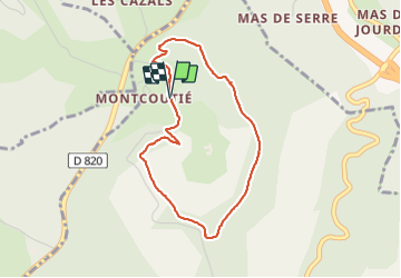

5 km | 7,2 km-effort


Gebruiker


Gratisgps-wandelapplicatie
 SityTrail
IGN / Geografische instituten
SityTrail World
De wereld gaat voor u open
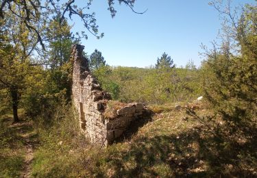
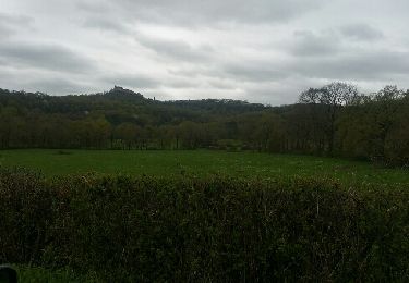
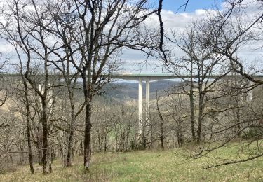
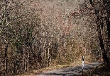
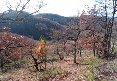
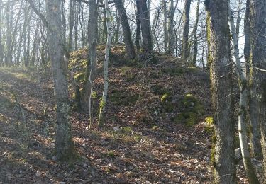
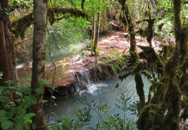
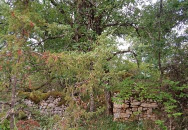
Tocht Stappen van 3,6 km beschikbaar op Occitanië, Lot, Bellefont-La Rauze. Deze tocht wordt voorgesteld door PariseJL.
Stappen
Motor
Stappen
Stappen
Stappen
Andere activiteiten

Mountainbike
Stappen
Stappen